Bura Ward is one of the 5 wards in Mwatate Sub-County of Taita Taveta County which lies in the Coastal region of Kenya and located approximately 11 Km South of Mwatate town, which is the capital of Mwatate Sub-County. It borders Mata ward in Taveta Sub County (to the East) Chawia Ward (to the West) Mghange Ward (to the North) and Wusi Kishamba Ward (to the south). The Ward covers an area of 870.5 Km2
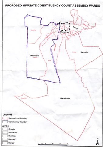
A map showing boundaries of Bura Ward
Physical and Topographic Features
The Ward is divided into 2 major topographical zones.The altitude ranges between 800 to 1720 meters above sea level suitable for crop,tourism and livestock production. Main crops produced are maize,cow-peas,green grams,arrowroots,sugar-cane and beans. Majority of farmers grow crops to serve as food crop,however most of what is produced for subsistence ends up in markets. Other crops being grown are sorghum,ground nuts,pigeon peas,cassava and sweet potatoes. The main physical features in the Ward are hills found in Shaghaigu and Mrughua sub-locations. Seasonal rivers are found in the highlands and forests.The Ward is mainly dry during the months of January,February,April,May,July,August,September and November due to low rainfall.
Administrative Units
In terms of administrative units, the Ward has a total of 2 locations 8 sub-locations and 86 (30 in Mwakitau location and 56 in Bura location)villages headed by chiefs, sub-chiefs & village administrators respectively.The overall representative of the Governor and executive arm of the county government is the ward administrator appointed by the County Public Service Board (CPSB).
The representative of the county assembly and legislative arm of the county government is the Member of County Assembly (MCA) elected by the people.
